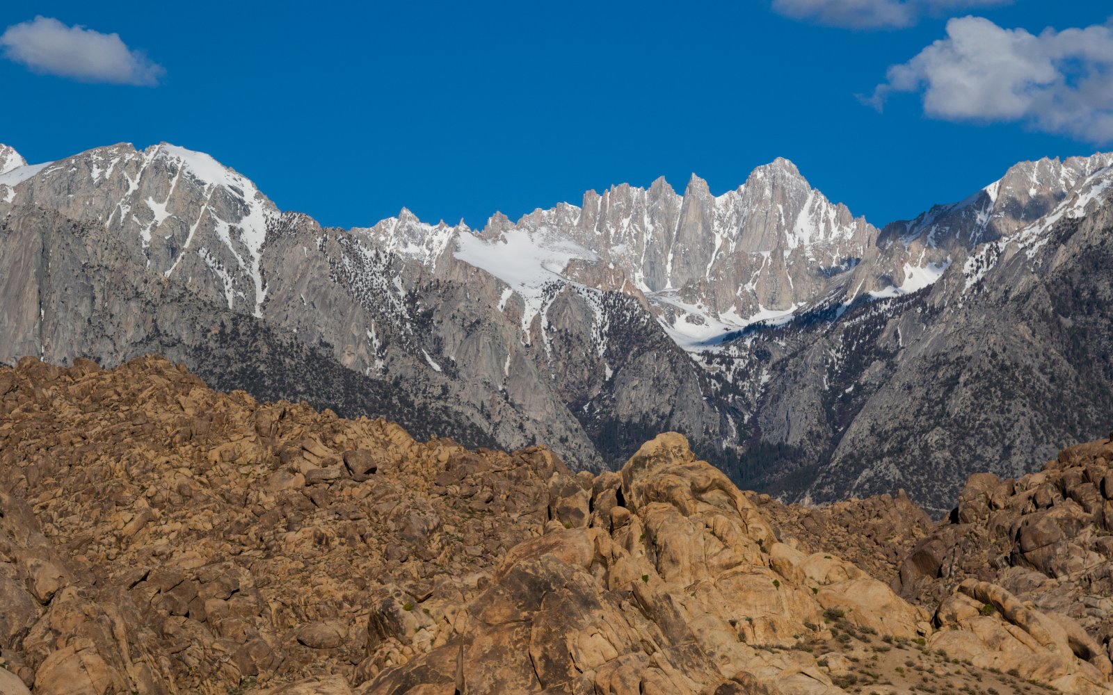


The Sierra Mountains are one of the greatest ski mountaineering ranges on the planet. The cold nights and warm sunny days of spring combine to create ideal conditions. Not to mention the countless slots and bowls and high peaks available to ski. The Mountaineer's Route on Mount Whitney has become a classic because it’s a huge wonderful couloir with massive granite walls that just happens to run off the tallest peak in the lower 48 states. It's definitely, a must-see and a must ski for any ski mountaineer.
Mt. Whitney’s east face is the most dramatic aspect of the peak and has classic climbing, skiing, and hiking routes. If your goal is to ski Mt. Whitney, then the Mountaineer’s route is the line you should look for. The Mountaineer’s route is climbed during most months of the year but the ideal time to climb and descend as a skier is in the springtime. The Mountaineer’s Route can be skied nearly continuously from the summit of Mt. Whitney in good conditions. The sweet spot is when you can access Whitney Portal, have a dry approach to Lower Boy Scout Lake, and skin from there. The Mountaineer’s Route approach is notoriously frustrating but well worth the slog for a chance to ski a truly classic peak and line. To ski the Mountaineer’s Route you will ascend and descend a moderately steep couloir that wraps around Mt. Whitney’s east-facing technical routes. An incredible and classic ski descent when done in ideal conditions. Both Mt. Whitney and the Mountaineer’s Route can be clearly seen from the town of Lone Pine, about 10,000 feet down in the dry valley below.
Your day will start at Whitney Portal (8300 ft.). From here you will follow the summer trail that will eventually veer off towards the classic mountaineer’s route on Mt. Whitney. The approach becomes challenging once you veer off the summer trail. A combination of dense tunneling willow and alder, traverses on granite slabs, and multiple creek crossings can make this a challenging approach, especially with skis on your back. You will get your feet wet, you will be slapped in the face by a wild willow brand, and you will question if the line is really worth it. It is. Your goal in this approach is to reach Lower Boy Scout Lake. It can be useful to time the snowpack so that you transition to skis and skis at this point.
From Lower Boy Scout Lake, it is an easy skin to Iceberg Lake, the base of the Mountaineer’s Route. Many groups choose to set up camp here if they are opting for a two-day outing. From Iceberg Lake, you will see an obvious couloir on the looker’s right side of Mt. Whitney’s face. This 1,500ft couloir will take you straight to “the notch” - a critical decision point of the climb and ski descent. As you gain the flat bench on the notch, you will notice a 300 ft hanging snowfield to the left, and a great deal of exposure to your right. The 300 ft hanging snowfield will be your last crux before the Mt. Whitney summit. This is an important decision point because careful avalanche assessment is needed on this north-facing hanging snowfield. Any avalanche activity could have deadly consequences and send a skier over into the abyss.
Once you make your way through the hanging snowfield, you will reach Mt. Whitney’s flat summit and you are a short walk to the summit register and refugio. Reverse your ascent for one of the finest ski descents the East Sierra’s have to offer.
I would identify two significant cruxes in this route.
The first is in the approach where you won’t find a defined trail or path to ascend out of the North Fork of Lone Pine Creek drainage. This approach weaves between tunneling alder brambles and third-class granite slabs and makes for a very slow and frustrating venture.
The second crux is the hanging snowfield above the notch and just below the Mt. Whitney summit. Approaching this snowfield you will make a sudden aspect change on the route and careful avalanche assessment is necessary.
Cutting the red tape for this peak may be the true crux of the outing. There is a “non-quota” period that runs from November 2nd through the end of April. During this time, you will still need a permit, but since there is no quota in force they are easier to obtain. However, if you are planning your trip anytime between May 1st and November 1st, the quota is in force and permits are going to be harder to come by. One option is to enter the permit lottery. A downside of this is that you will have to pick your dates far in advance and it will be challenging to predict conditions. The third option is riskier but will allow for choice when it comes to mountain conditions - wake up early and make your way to the permit office and gamble on a walk-up permit. Here is a link to the permitting website for more detailed information: https://www.recreation.gov/permits/233260