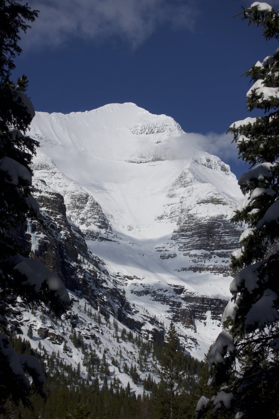
If you want to ski one of the widest, longest and coolest faces in the contiguous United States then you’ve got to be willing to hike a long way for it. The Southwest Face is of Mount Stimson does not disappoint, but the reason it’s only seen a handful of descents is due to its remote location in Glacier National Park. The mountains here aren’t that large in elevation, but the relief is as good as anywhere and the view from the summit is hard to beat. From the tippy top it may be possible to ski onto the face, or you may have to downclimb through a short rime iced couloir until you can click in. From here you feel quite naked because you are exposed and there’s nowhere to hide. It’s possible to hug the upper left ridge for a little bit, but then you’re forced out into the gut in order to sneak through some cliff bands.
Head towards Glacier National Park on U.S. Route 2. 10.8 miles outside of the main intersection in the town of West Glacier there are some pull-outs to find parking. From here work towards the Middle Fork Flathead River and find a good crossing. Hike up from the river bottom and connect to the South Boundary Trail, which is a wide road grade. Follow this to the east through the forest for just a short while until you connect with the Coal Creek Trail and follow this till you come to the steep banks above Coal Creek. You’ll need to descend the steep bank to the creek and cross. From here ascend again up out of the creek bottom and onto the ridge that parallels Pinchot Creek (you sure you still want to go?) stay high and in the trees while contouring. This is some tight tree travel, but persevere. Eventually you’ll be forced into the creek bottom and this is where the real fun begins. The terrain is tricky, switching from one side of the bank to the other, crossing snow bridges and pillows, up and down and back and forth. It will end if you continue far enough and after passing through some pine forests the drainage opens up and Mount Stimson’s Southeast Face will be staring right down at you. This can be a good spot to camp. The route continues up the valley to the saddle between Stimson and Mount Pinchot. From here angle to the north up the huge south face of Stimson. This is very steep towards the top and finishes on the ridge. From here, cut back the west along the ridge to find the Southwestern Face.
Bushwhack approach/exit
You want to go early enough in the season that the river crossings aren’t too high and the low elevation snow is still deep enough to travel “easily” on. Then all you need to do is hit the south face right after a new storm so you’ll have fresh pow, or after a few sunny days and maybe you’ll get corn. This is a multi-day affair, but travel light because the terrain is not easy.
