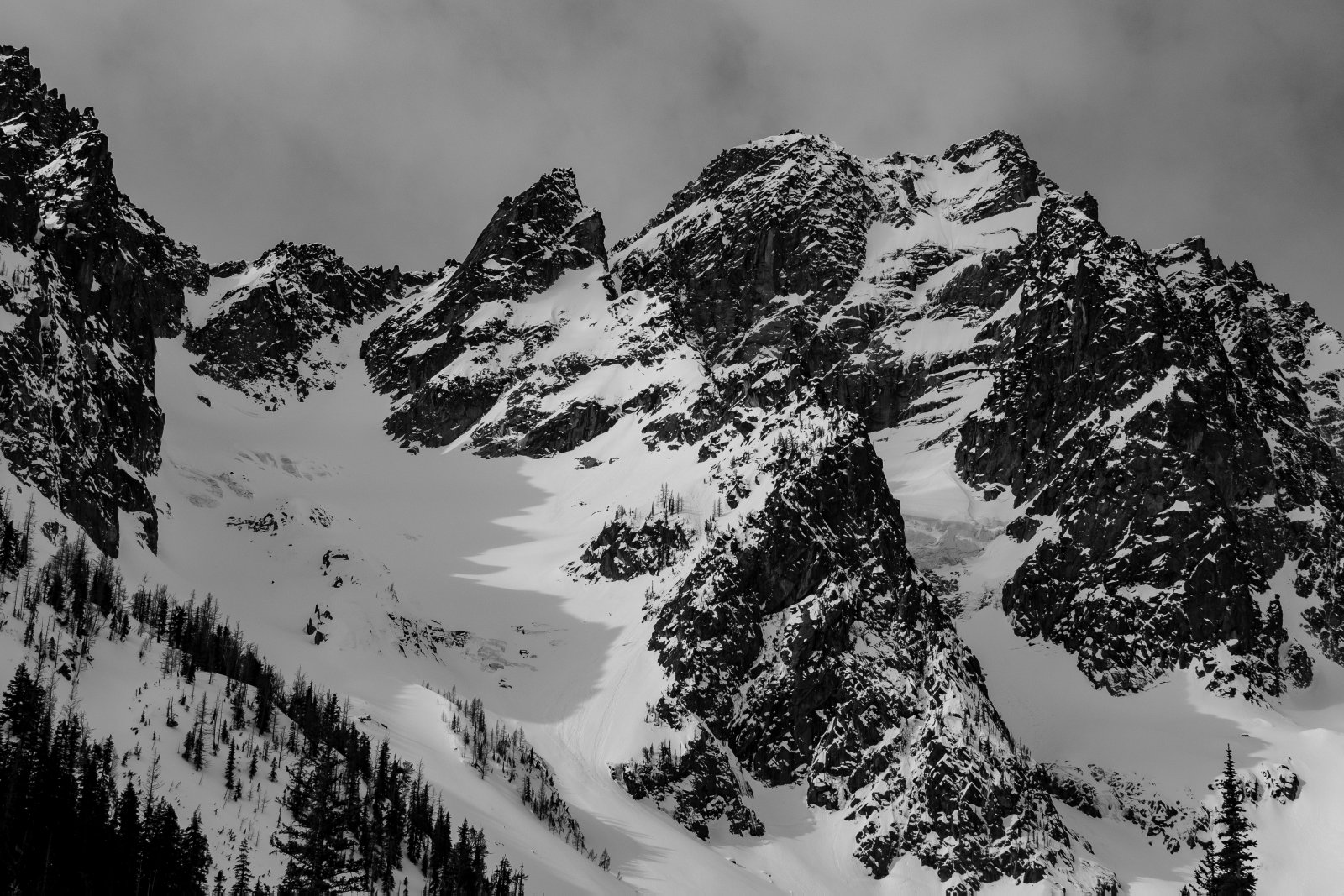
Mt. Stuart is an iconic peak in Washington and the Sherpa Glacier Couloir is just one of the many amazing ski lines on Stuart!
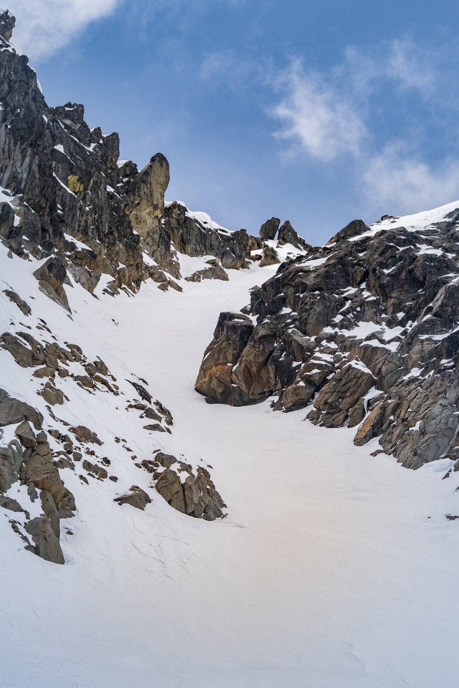
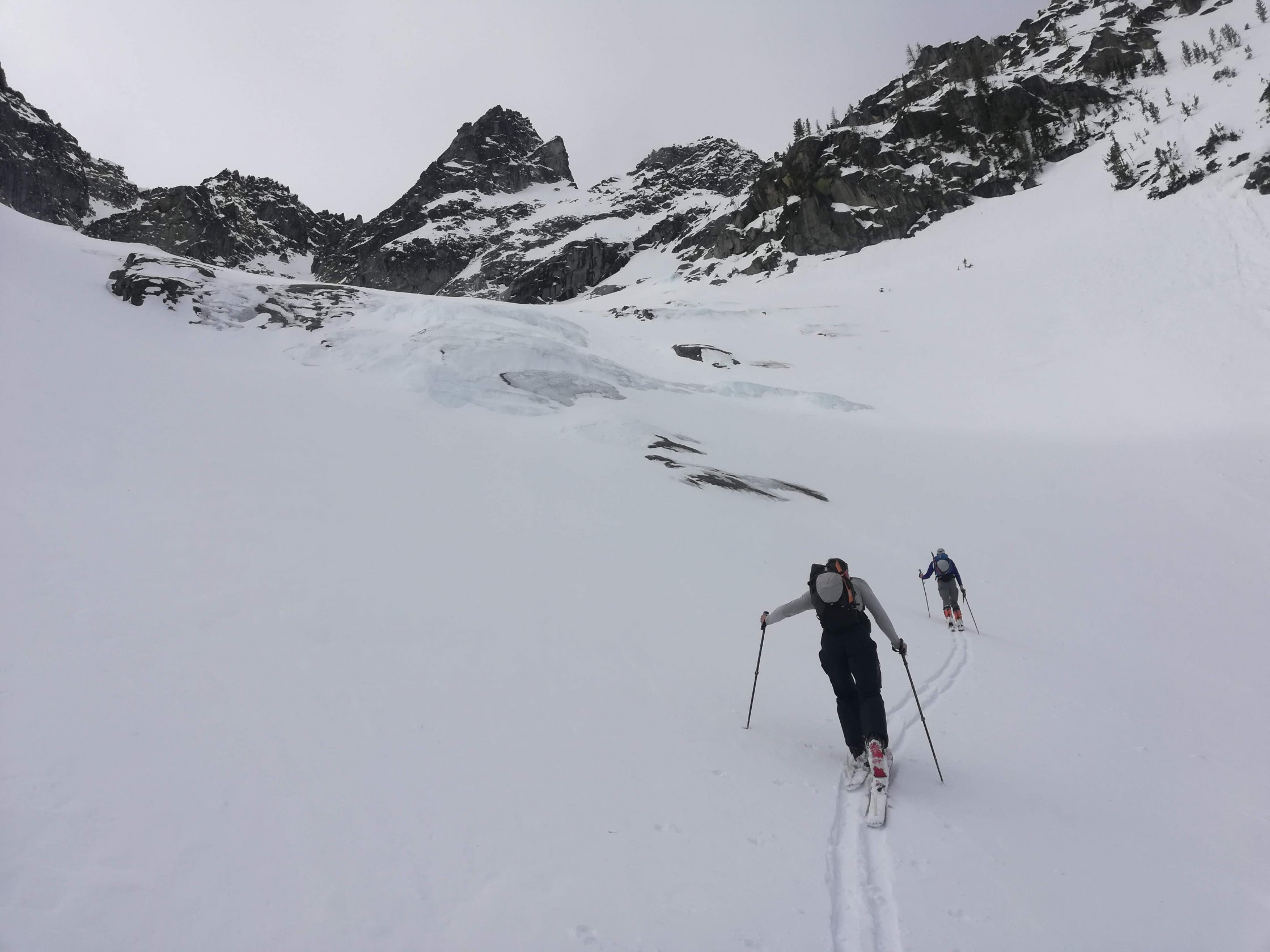
The couloir is north-northeast facing and can hold amazing powder snow in the winter. It is a long approach along closed forest roads and through creek drainages, but the scenery and vertical relief are well worth the effort! The couloir itself starts at ~8,600’ and opens up to the wide Sherpa Glacier around 7,600’, but the Sherpa Glacier provides another 2,000’ of amazing skiing for a total of ~3,000’ of killer turns! The upper couloir is in the high 30/low 40 degree slope angle range, and not very narrow. The alpine nature of the couloir means that it is very exposed to the elements and can often have wind slab avalanche problems. The line is well protected from the sun in the Winter/early Spring months, so the snow can stay fresh even after a day or two of high pressure.
The approach in and the descent out of the line are long if you approach from Icicle Creek road, so consider spending a few days in the area and linking up with some other great lines on Stuart, Colchuck, or Argonaut. There are so many great ski objectives in the Enchantments zone, and in the winter months, you don’t need a permit to camp! The line is very manageable for a long day trip, but involves a lot of flat skinning and approaching/descending through creeks and river valleys. Maximize the return on your effort and set up a base camp in Stuart Creek meadows or by Colchuck Lake.
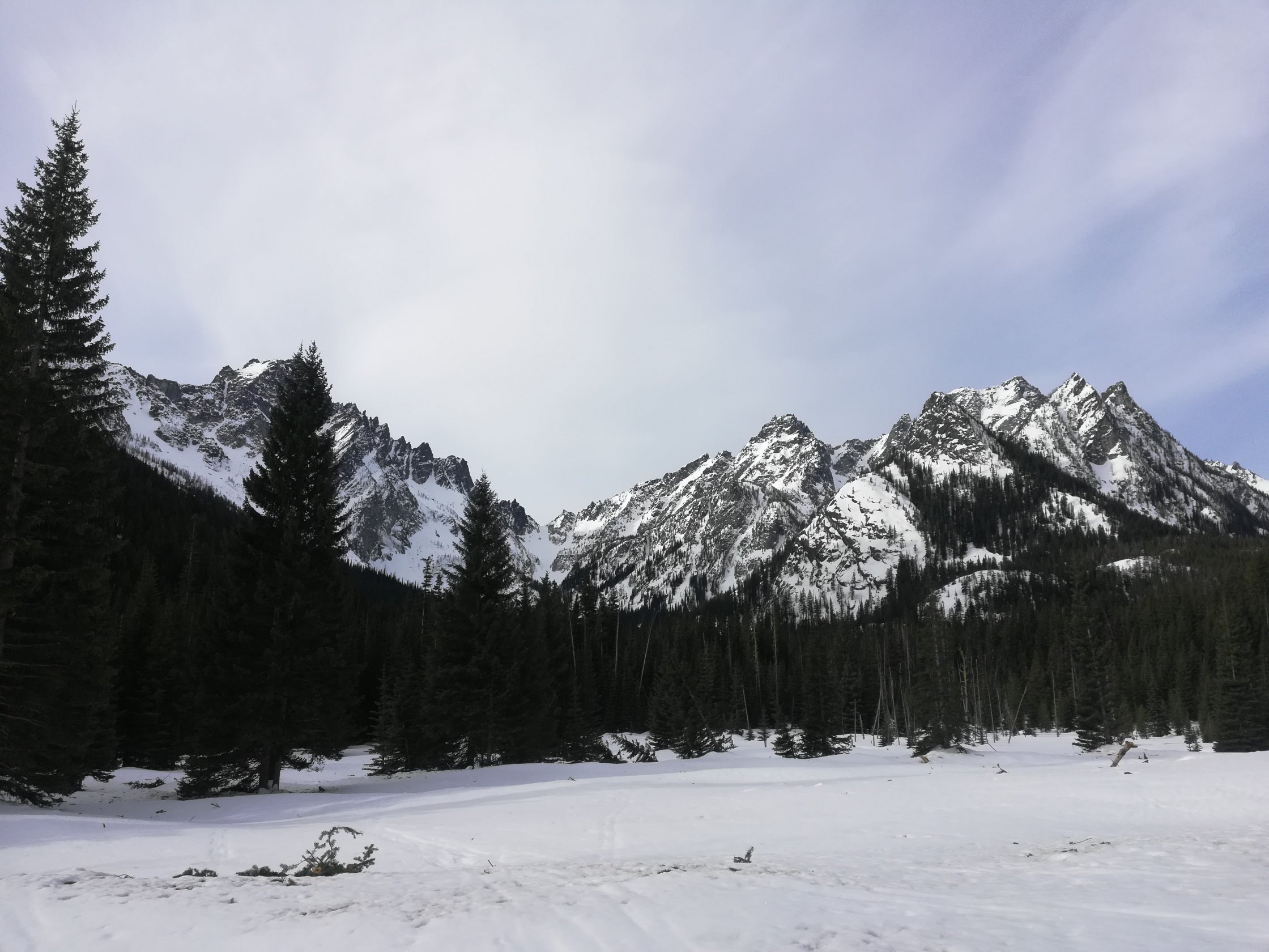
The approach to Mt. Stuart is a long one when the road is gated. You must start on Icicle Creek Road and head up the Eightmile Road to the Colchuck/Stuart Lake trailhead (approximately 3 miles), then another 1 mile along the trail to where the Stuart Lake Trail branches off from the Colchuck Lake trail. It is easy and fast skinning but can feel monotonous and long.
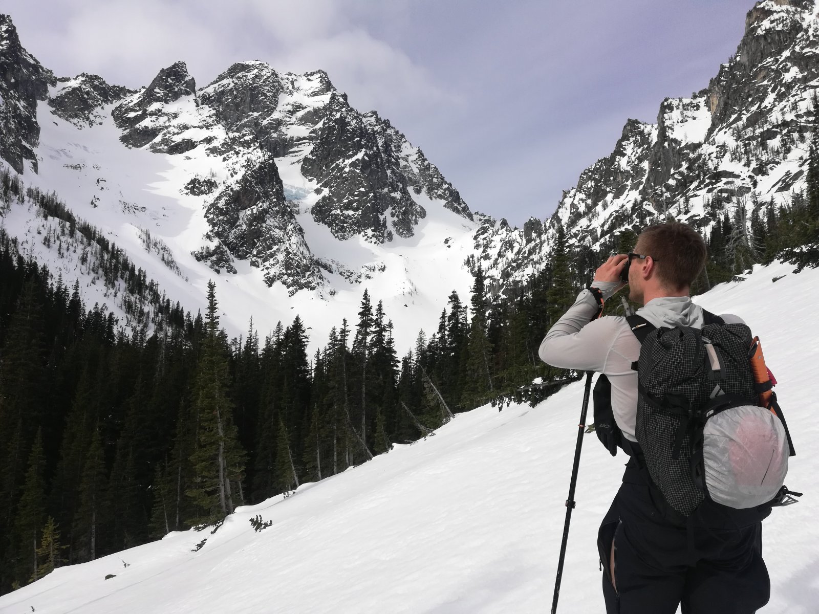
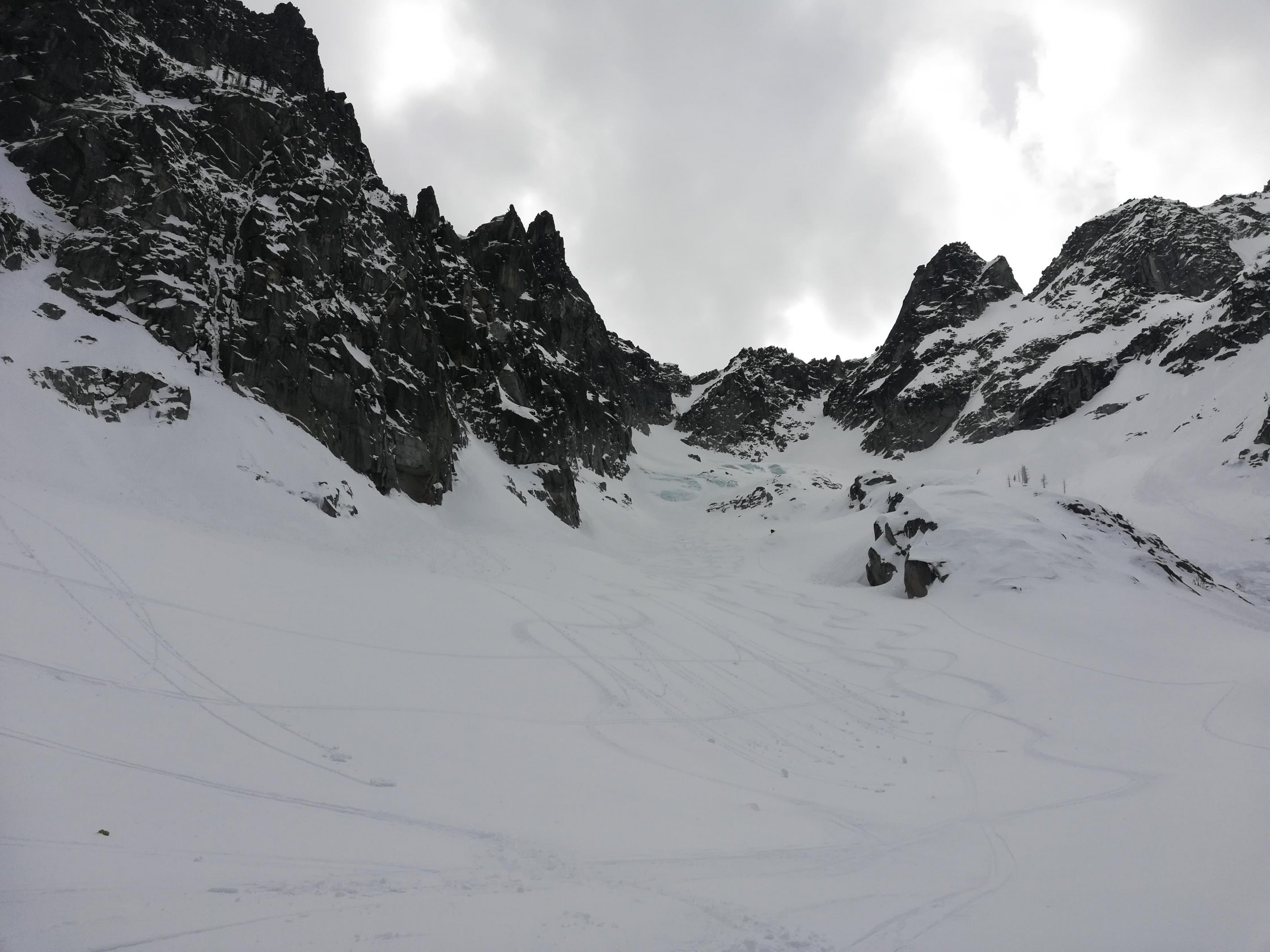
To approach the Sherpa Glacier, it is best to branch off the Stuart Lake Trail from the meadow around 4,500′ and head SW up Mountaineer Creek to the base of the glacier. This portion involves many creek crossings and depending on snow coverage can be a bit funky. Once you reach the base of the Sherpa Glacier the route is incredibly straightforward: UP. The glacier narrows to a clear couloir which climbs SW (facing NE) towards the ridgeline between Sherpa Balanced Rock and Mt. Stuart. The top of the Sherpa Glacier Couloir gives you a view of the Cascadian Couloir to the south. From the top of the couloir, you have the option to continue along the ridgeline to the summit.
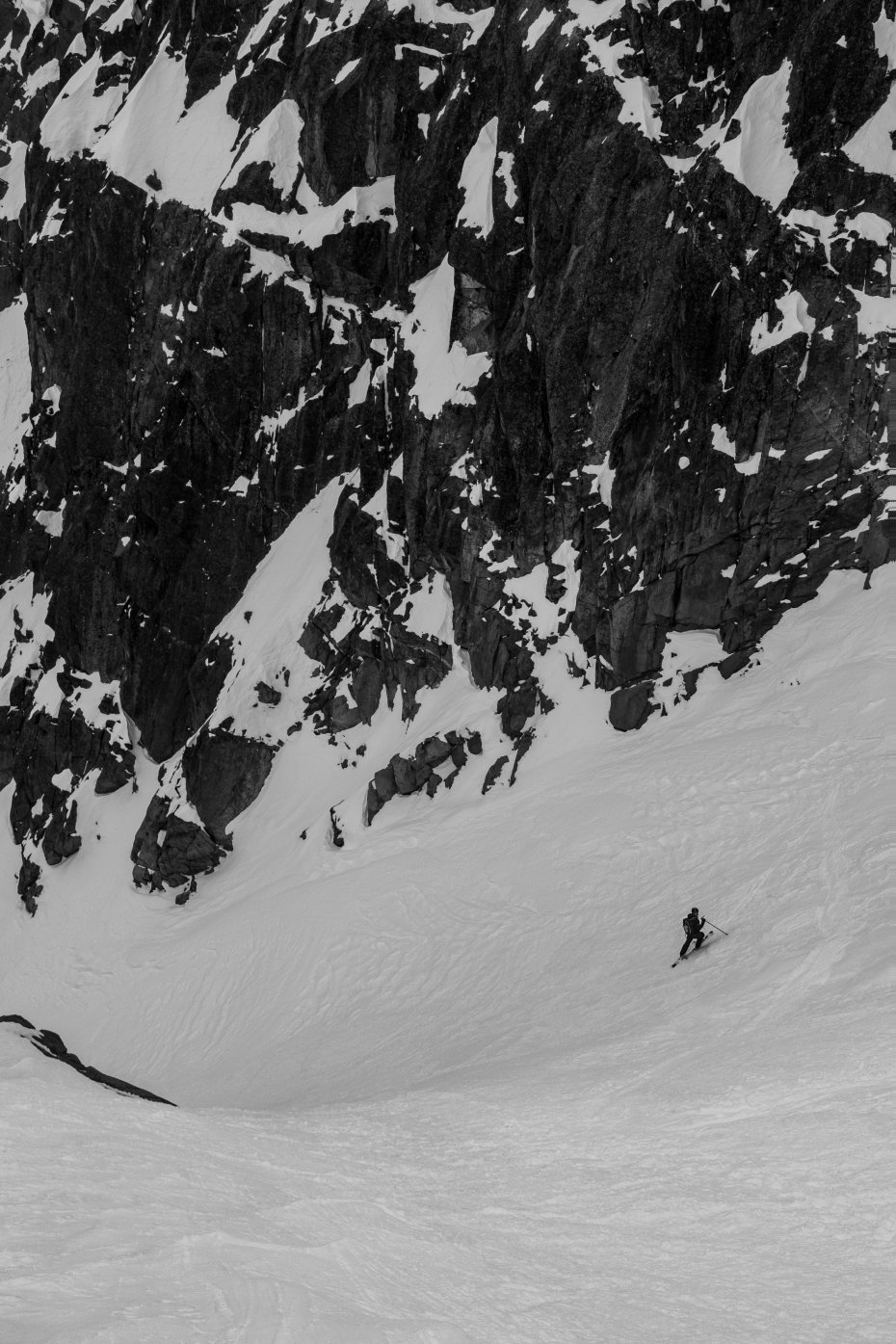
The technical crux of the route is the upper couloir from the Sherpa-Stuart saddle, which is the steepest part of the line. It never exceeds 40 degrees but can be firm and icy, depending on conditions. The “choke” is still a few ski widths wide, so it's not really that narrow. The real crux for the day is the approach through Mountaineer Creek, which can involve numerous creek crossings, especially if the snow coverage is poor. Often, the creek remains open even in high snow years, so be prepared for slow movement on your approach/descent.
As mentioned, there are SO many good lines to link up in the area. The North Buttress Couloir off Colchuck, the countless couloirs off Argonaut, or other lines on Stuart like the Cascadian Couloir. Make a base camp and stay a few nights to make the approach in worth your while!