Wasatch Backcountry Map with Legend
In Stock
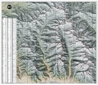
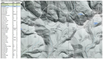
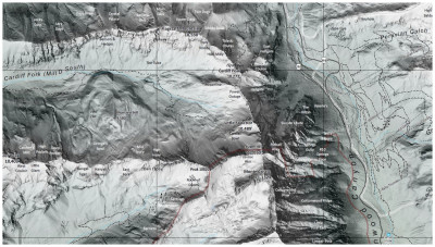
Want to know where today's ski tour took you and what lines were skied? The Wasatch Backcountry Map with Legend is a detailed, high-resolution map that makes finding most backcountry ski lines in the Central Wasatch a breeze. Made by a local Salt Lake City artist to display anywhere, from framed in your living room, taped next to your workbench, or stapled to your bedroom ceiling. The Legend is an excellent way to prioritize which lines you want to ski and then tick them off your list; or, simply gaze and wonder where the next tour will take you. The map is within three feet of accuracy due to Lidar technology, and shading details the aspect and slope angle. Without the map, one could easily assume that Silver Spoon, Silver Mine Meadows, or even Silver Creek are in Silver Fork, or that High Baldy, High Ivory, or High Dutch are on the Highway to Heaven Traverse, but you'd be understandably incorrect. The Wasatch Backcountry Map with Legend is a must for any avid off-piste Wasatch regular.
- Printed on backcountry snow exposure-resistant paper.
- A high-resolution, accurate slope detailing, topographic map of the Wasatch Range.
- The legend shows which quadrant today's fun happened.
- Great conversation piece for when your mom comes over and complains you don't own any art.


