Please make an appointment for bootfitting.


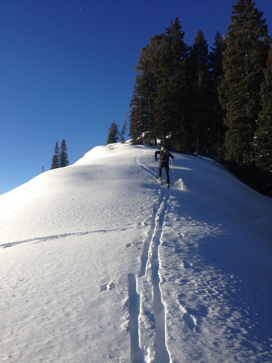
The heart of the Wasatch Range lies between Provo and Parley’s Canyons and with some light gear, a fair bit of fitness and friendly travel conditions it’s possible to traverse from these two points in a long day. At 35 miles and 11,000 feet of elevation gain it’s long enough to be respectable, but not feared and there are plenty of great bail out options along the way. It’s a fun test piece without serious commitment levels unlike many winter traverses. Start up Toll Canyon from the Summit Park community and make your way to Murdock Peak, this is a mild and enjoyable climb that gets a good chunk of the vert out of the way and gets you up high onto the ridge. From here continue along the Park City ridgeline or Wasatch Crest Trail into Brighton Ski Area, drop in and traverse then climb to Catherine’s Pass, or stay on the ridge, both options take you into Alta Ski Area. From the top of Rocky Point or Point Supreme drop down to the South into Dry Fork. Continue skiing down the road and wrapping into American Fork Canyon until Tibble Fork reservoir. From here the hardmen will walk the pavement to the Timpooneke trailhead, or hitching a ride is also an option if you’re running out of energy, time and or daylight. Get onto the Alpine Loop Road which is closed in winter but highly trafficked. It’s a short climb up and over the pass. From here just ski the winding road down until you hit the Aspen Grove parking lot completing the Central Wasatch Traverse.
Vehicle logistics are possibly the most difficult crux of this outing. Parking in Summit Park is highly restricted, might be best to get dropped off by a friend, or take an Uber.
Car shuttle, finding someone dumb enough to do it with you
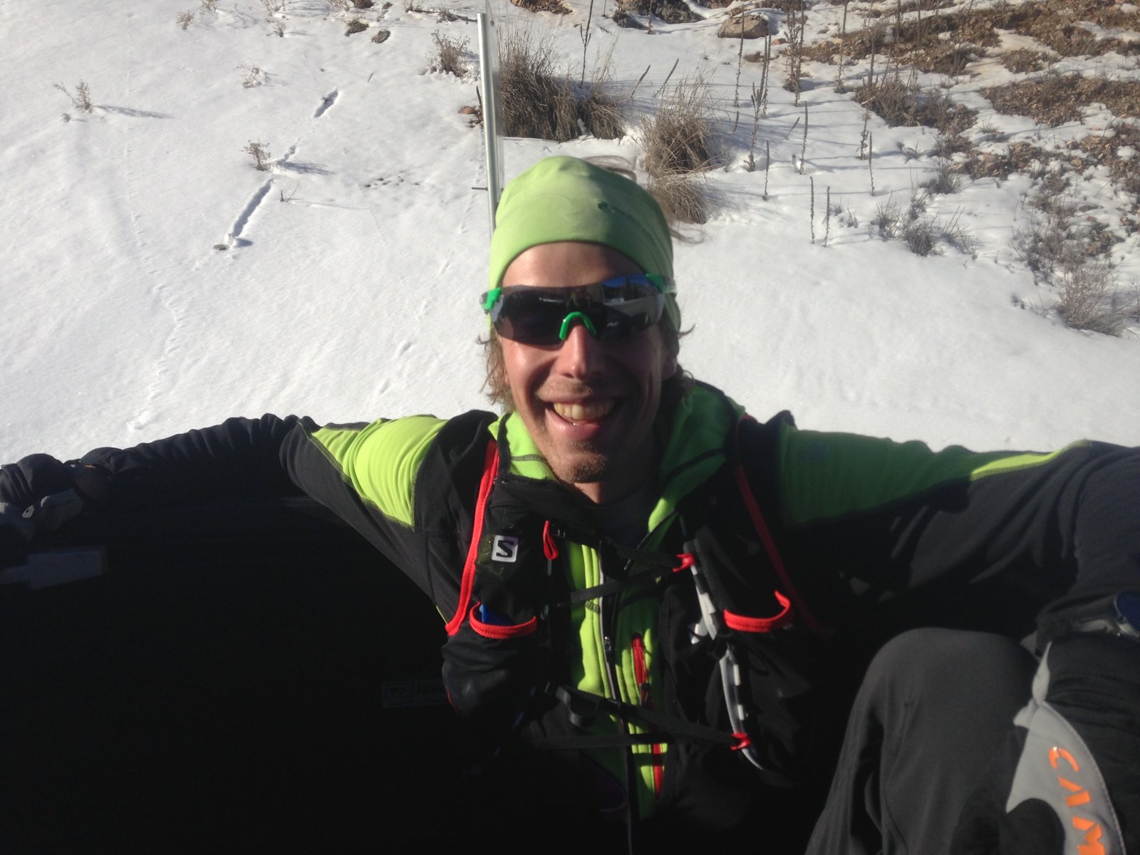


Brennan C
04/24/2024 9:04am
(Skied 4/13/2024)
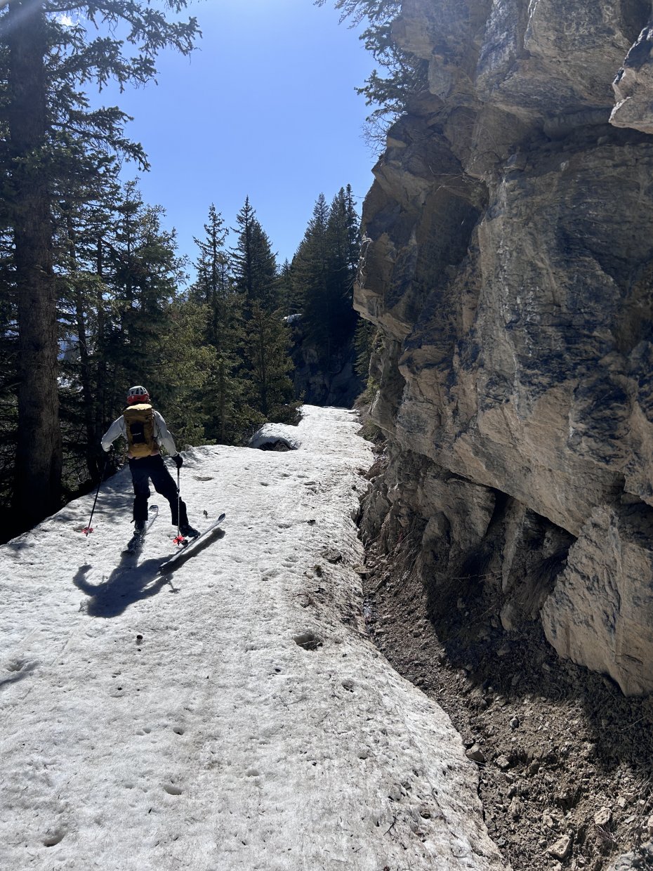
I had contemplated long lines through the winter Wasatch, but had not heard of this specific route until two weeks before. We just met recently at the climbing gym. Josh Riff asked if I had interest in the Central Wasatch Traverse. Just based on the concept of a long day and an upcoming open Saturday, I said yes. Later, I looked up the route. The beginning of the route seemed natural; follow Toll Canyon to Murdock Peak, then trace the Crest ridge line. It seemed unnatural to drop into Brighton (described as an option), so we planned to stay on the ridge through Rocky Point, and drop into Dry Fork toward Tibble Fork. I don't understand why anyone would take the paved road (especially by car) to Timpanooke, so we mapped an on-snow route from Tibble up Trail 2040, then 2173, then 2041, and 2157 to the summit of the Alpine Scenic Hwy. This just seemed like a more pure traverse, keeping it human-powered and staying up in the high parts of the Wasatch. It was a hot day, with abounding soft corn, making the steeper climbs more skin-able on the ridge above Brighton. The descent down the nearly flat Dry Fork however, was made tedious by the drag of the slushy snow. This eventually turned into exposed dirt and became a 1-2mi boot hike down to Tibble Fork Res. But, we crossed the bridge (inlet of Tibble) and found continuous snow in the drainage that Trail 2040 follows up. It was just a tiring late-afternoon push to the far off Alpine Scenic Hwy, then a dark perfectly icy downhill to the Aspen Grove trailhead. While toiling away in Dry Fork, I realized that a ridge from Sunset Peak continues all the way south to the summit of Alpine Scenic Hwy. Someday I may go prove out that route as it would be natural and pure continuation of the Wasatch Crest. In my humble opinion, that should be the standard route ;)Read more.
Gear I used
Salmon X Alp